
Press kit · Skylark for iPhone
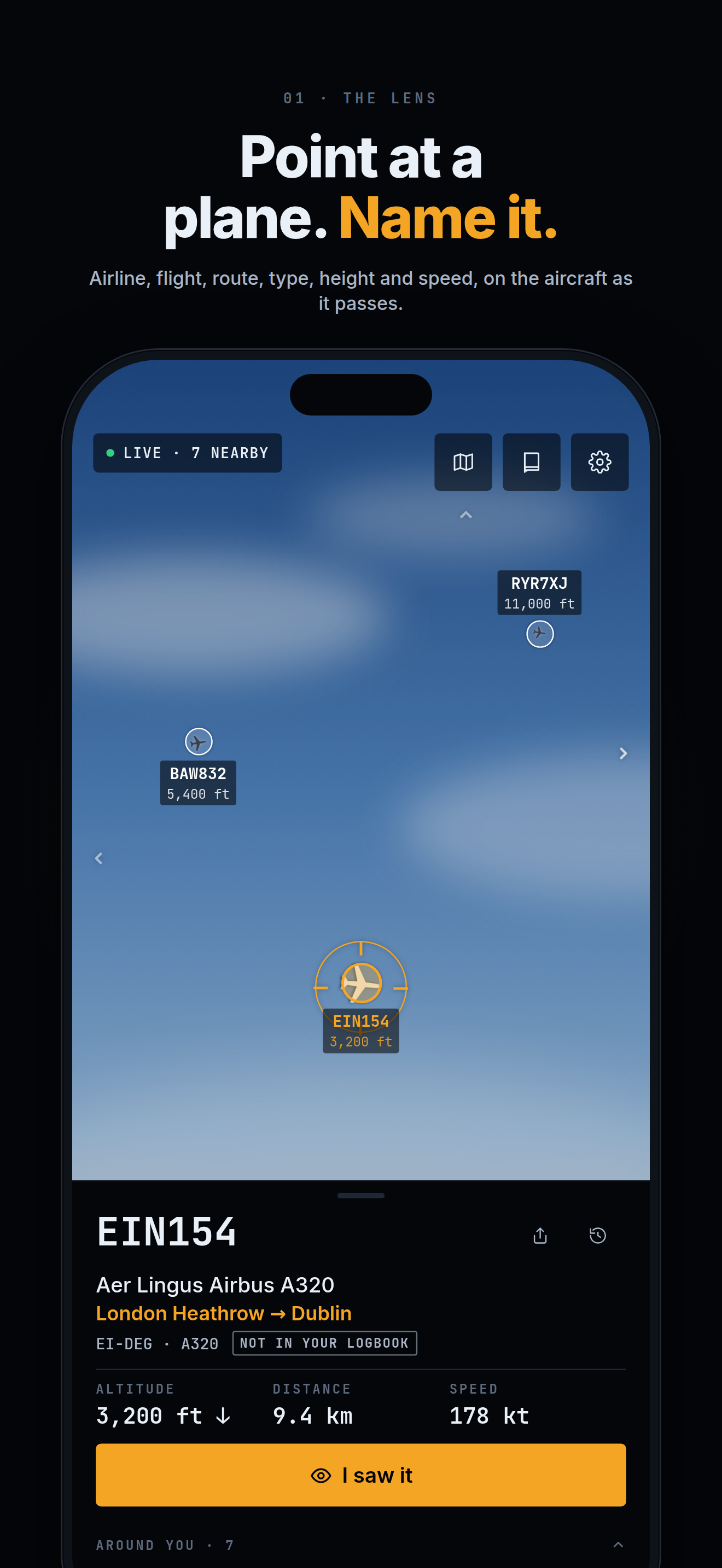
Point at a plane. Name it.
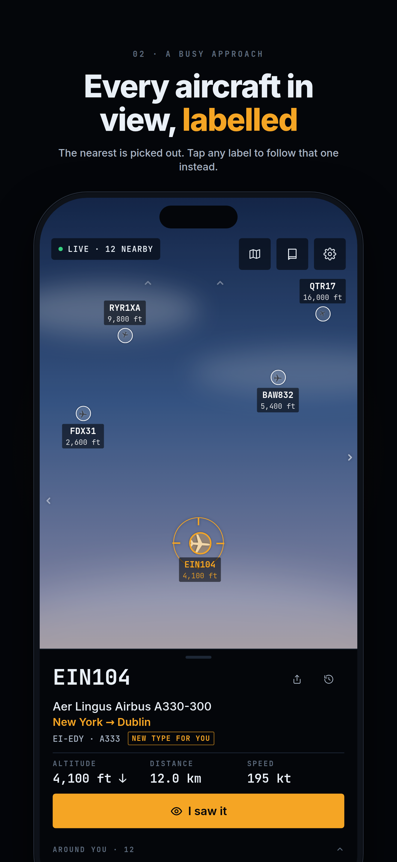
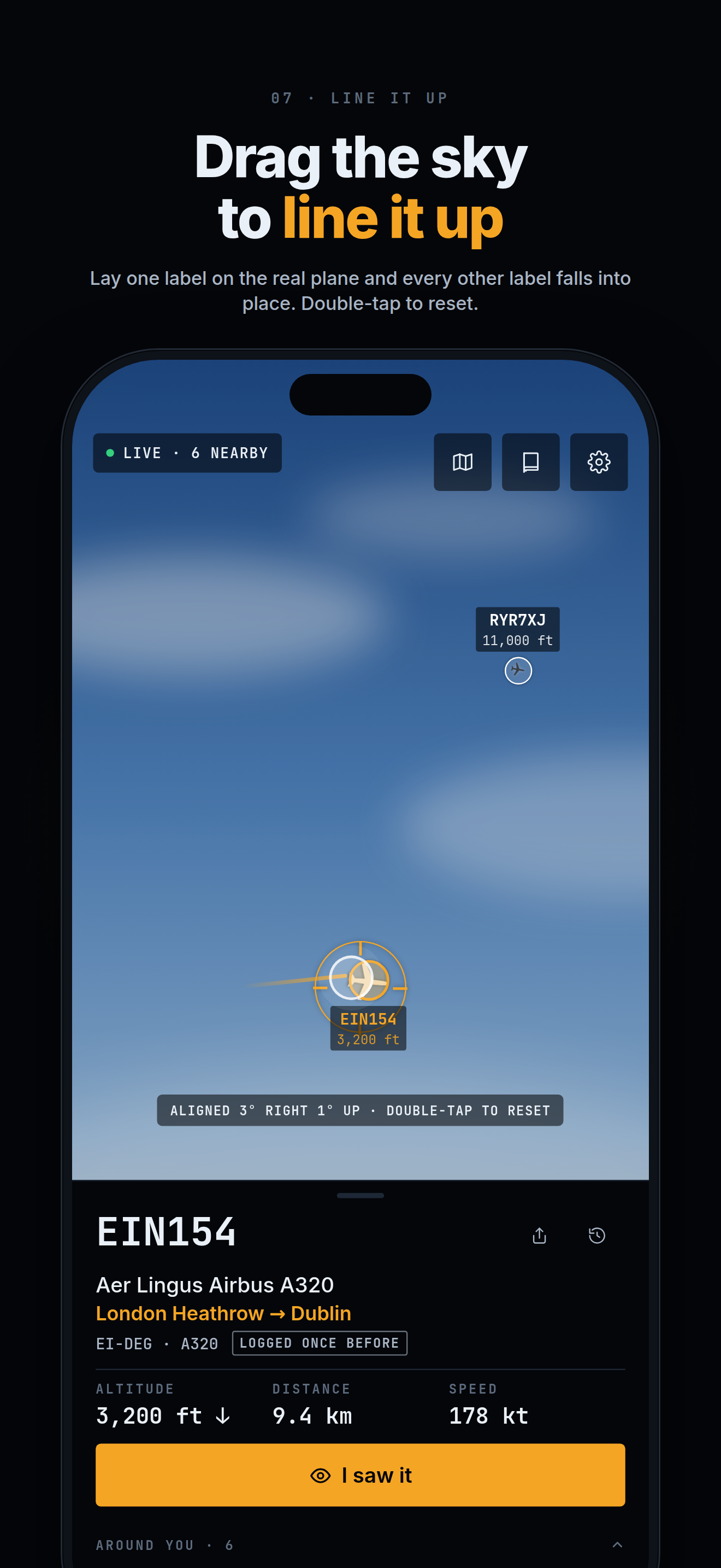
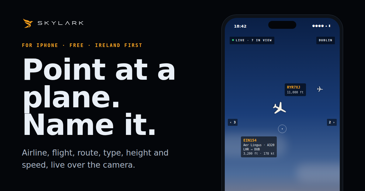
Skylark is a free iPhone app from Dublin that names the aircraft you point it at: airline, flight, route, type, height and speed, drawn live over the camera. Everything on this page may be quoted and every image may be used to cover Skylark. No sign-up, no embargo.
The story
Everyone who has stood in a Dublin back garden, on Portmarnock beach or at the fence at the airport has asked the same question: what is that one, and where is it going? Until now the answer meant opening a map app, finding yourself on it, then guessing which dot was the plane overhead. Skylark turns the question the right way round. Hold the phone up to the sky, and the label is on the aircraft.
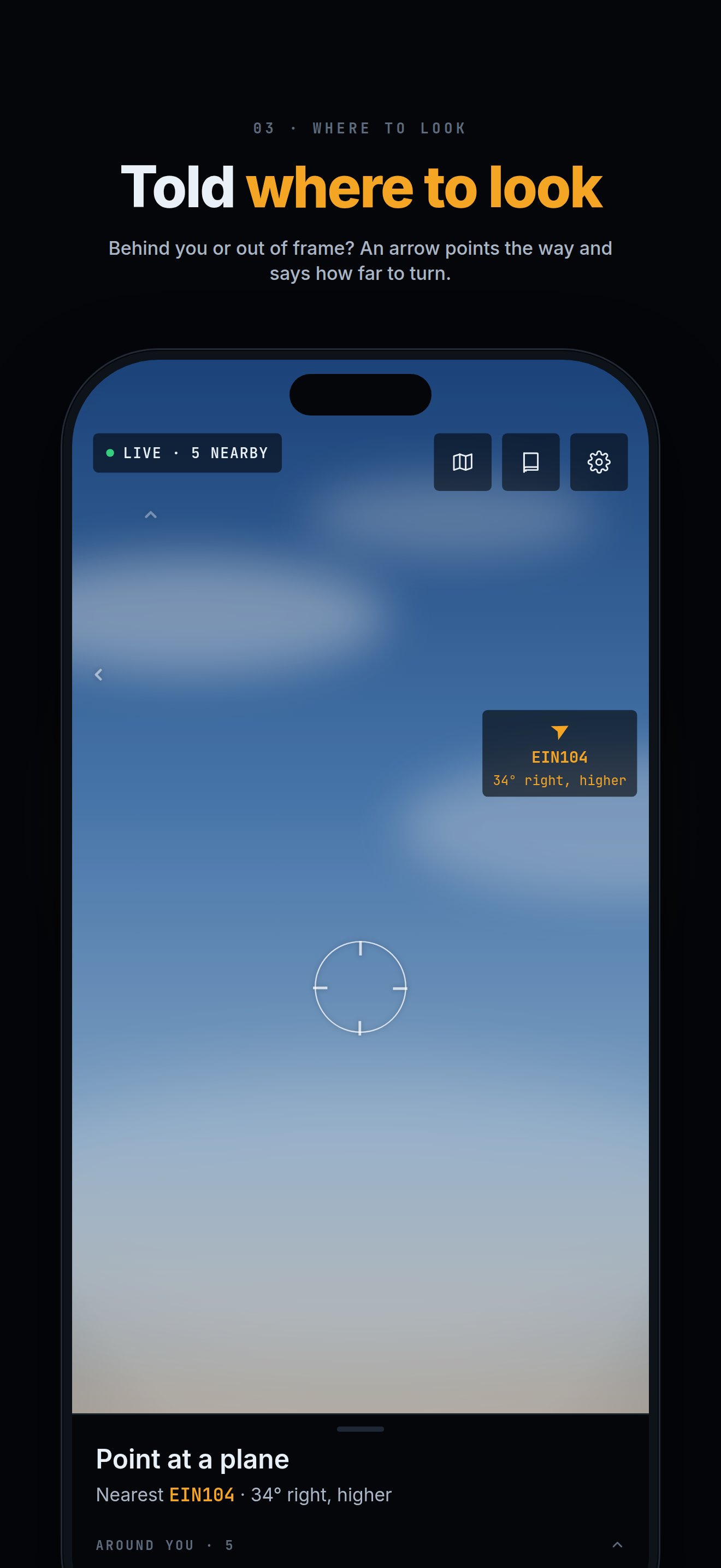
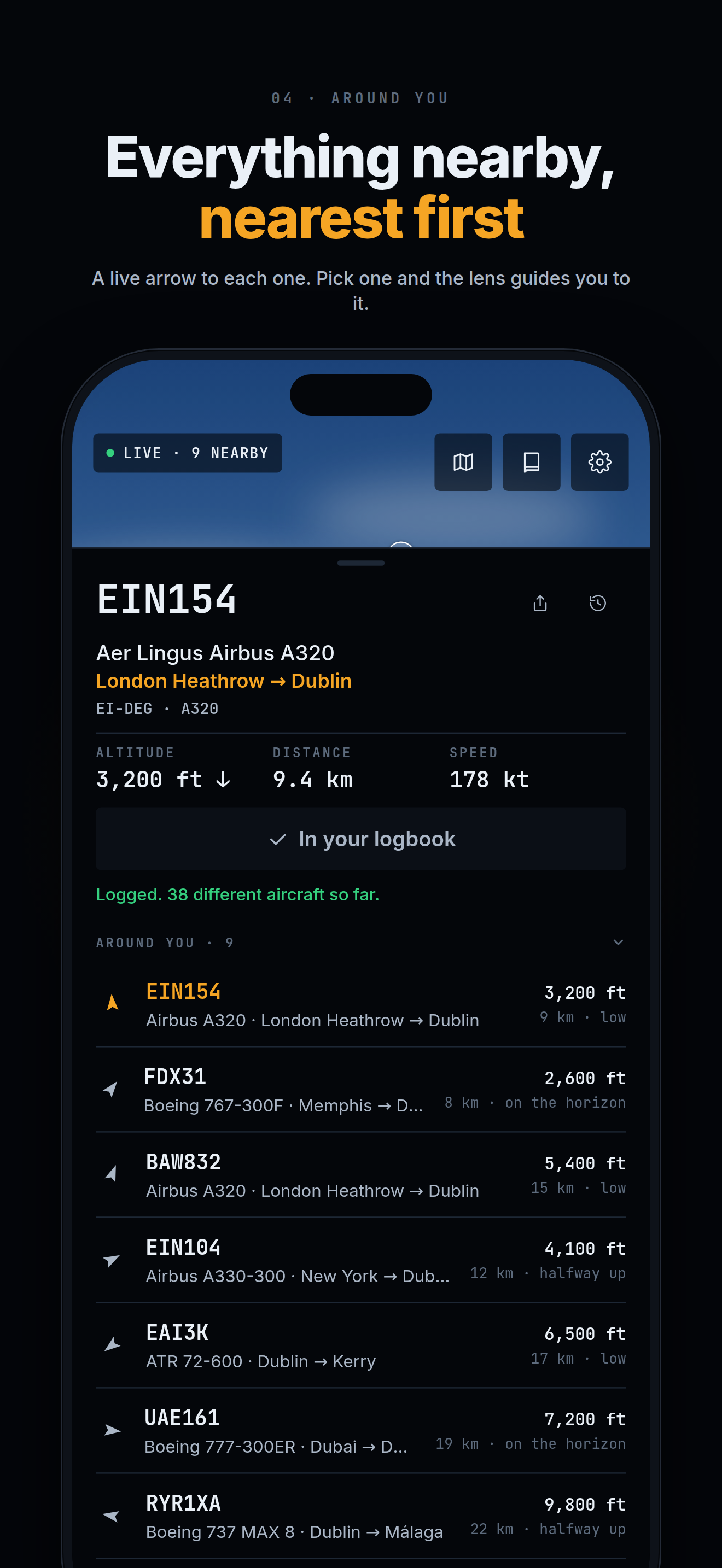
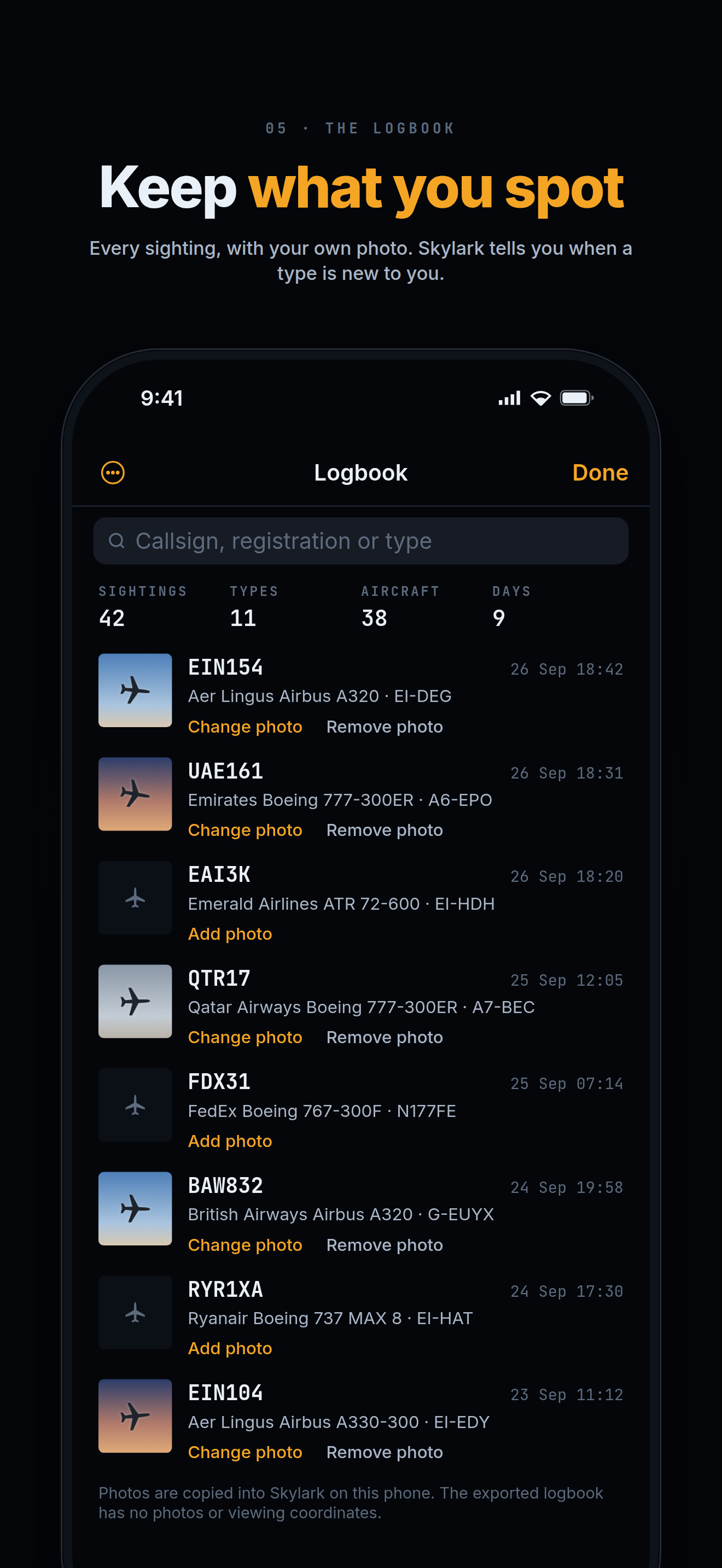
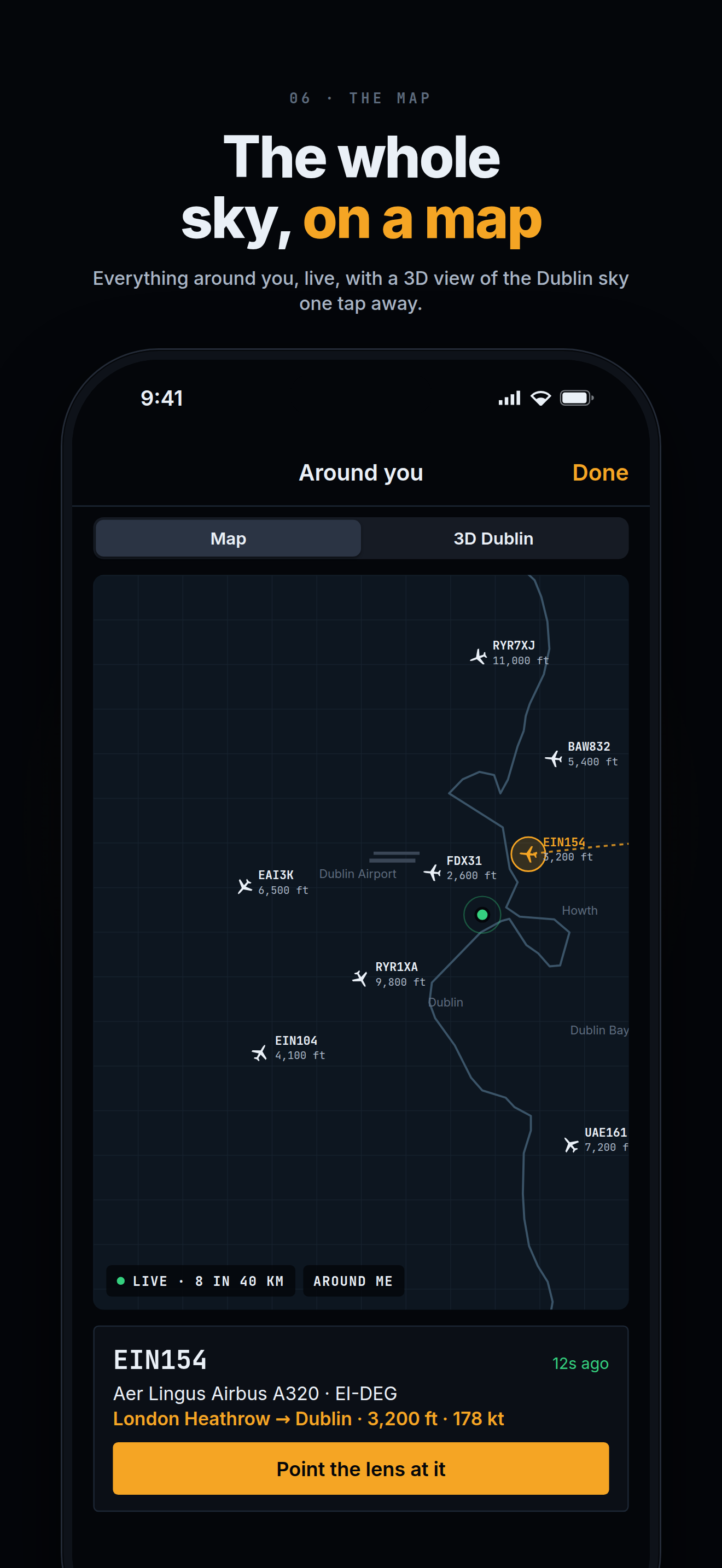
Most aircraft broadcast their position, altitude and identity by radio, a system called ADS-B. Volunteer receivers on the ground, a growing number of them in Ireland, pick that up and share it. Skylark combines those positions with the phone's location and compass to work out which aircraft sits where in the camera view, then looks up the flight, the route and the airline. If the plane has slipped out of frame, an arrow says which way to turn. Tap I saw it and the sighting goes into a logbook, with the date, the type, the registration and your own photo.
Skylark is built in Dublin by one person, and it launches in Ireland first, free, with no ads and no account. It names aircraft around Dublin today; the whole island of Ireland is next, then the United Kingdom. The same volunteer receivers feed the live web tracker at skylark.watch, which works in any browser, and the daily picture of Ireland's sky at skylark.watch/stats.
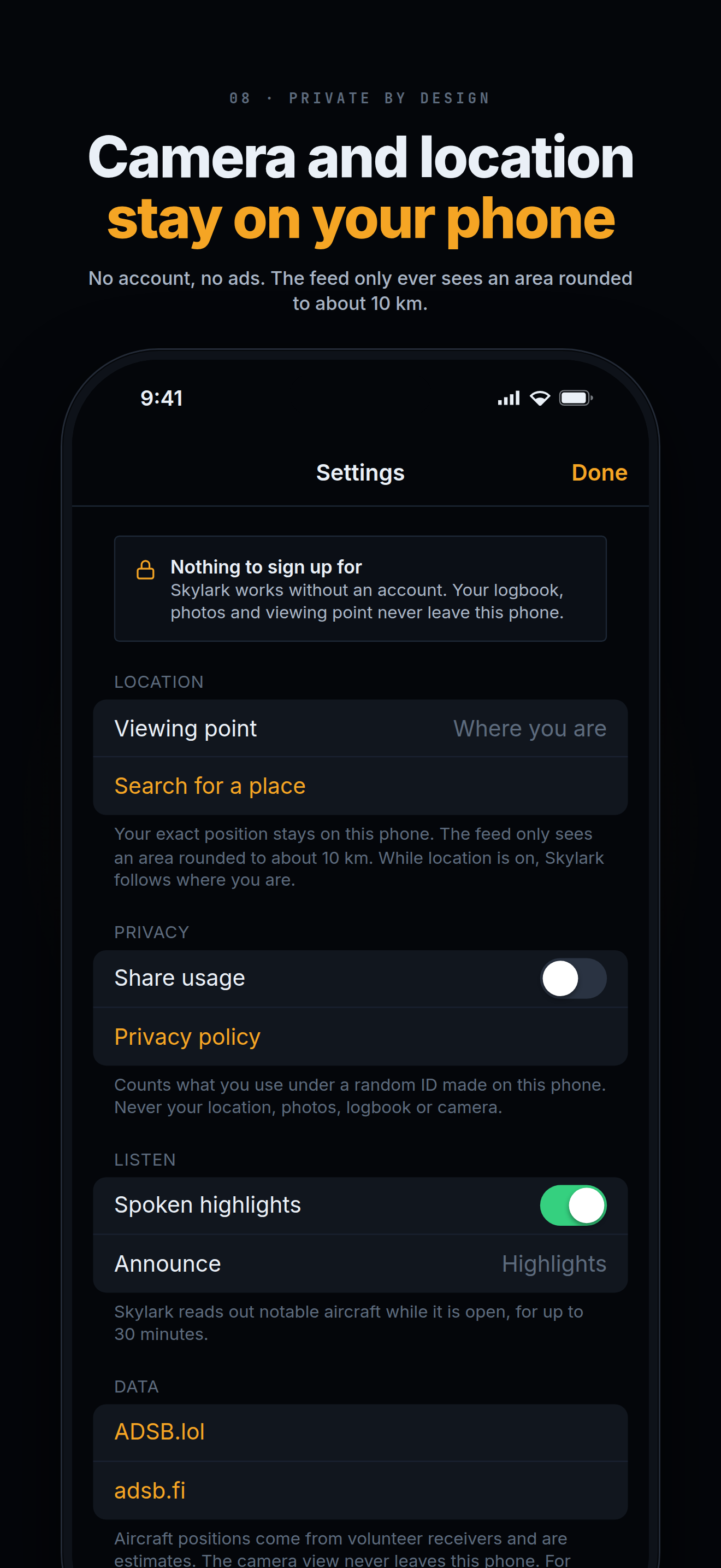
Privacy is part of the design rather than a policy. The camera view and the phone's exact position never leave the phone. To fetch nearby aircraft, the app sends only an area rounded to about 10 km. The logbook and photos stay on the device. Skylark is for curiosity, not navigation.